Drone and Aerial Photography and Surveys


What is it?
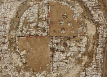
Drones can be used to give a unique pictorial overview of archaeology on a site or a site within the landscape and can add to the archaeological record.
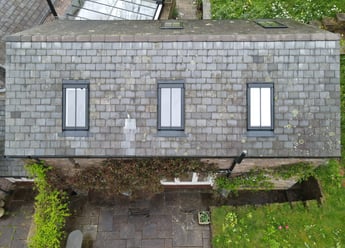
Drones can also be used to conduct aerial surveys of sites and historic structures quickly and (more often) more cost effectively than traditionally using cherry pickers or erecting scaffolding.
We are able to use drones for various surveys including rooftop and façade surveys as well as taking aerial photographs for the archaeological record.
Where the use of drones would not be appropriate, within a structure for example, we use a ground-based aerial system which allows us to take elevate photographs.


